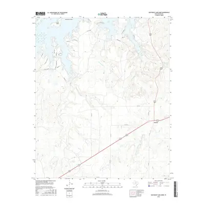
2016 Map of Southeast Lake Kemp
USGS Topo · Published 2016About this map
Lake Kemp dominates the northern reaches of this Baylor County landscape, where the reservoir’s intricate shoreline creates prominent features such as Rattlesnake Island and Cattle Island. The surrounding terrain is defined by a dense network of seasonal drainages, including Big Moonshine Cr, Little Moonshine Cr, and Gray Cr, which feed toward the N Fork Little Wichita River in the south. This area is historically significant as part of the massive Waggoner Ranch holdings, evidenced here by the presence of Waggoner Lake Number 5 and several private ranch roads.
Find a feature on this map
35 named features on this map. Tap any name to fly to it.
Don’t see what you’re looking for? This feature index may not catch every label — zoom into the map to look around manually.
Map Details
Editions of this 2016 Southeast Lake Kemp Map
This is the sole edition of this map. No revisions or reprints were ever made.
Other maps of this area

1954 · Wichita Falls
USGS Topo · 1:250,000

1958 · Wichita Falls
USGS Topo · 1:250,000

1966 · Franklin Bend
USGS Topo · 1:24,000

1966 · Seymour West
USGS Topo · 1:24,000

1966 · Fulda
USGS Topo · 1:24,000

1966 · Northeast Lake Kemp
USGS Topo · 1:24,000

1966 · Southeast Lake Kemp
USGS Topo · 1:24,000

1966 · Northwest Lake Kemp
USGS Topo · 1:24,000

1966 · Southwest Lake Kemp
USGS Topo · 1:24,000

1966 · Seymour East
USGS Topo · 1:24,000