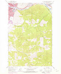
1964 Map of Southeast Missoula
USGS Topo · Published 1978About this map
University of Montana dominates the eastern edge of the Missoula city center, nestled beneath the prominent slopes of Mount Sentinel. This 1960s era landscape shows the city's academic and civic core during a period of growth, featuring landmarks like Hellgate High Sch, St Patrick Hospital, and Dornblaser Field. The geography is defined by the sharp convergence of the Clark Fork and Blackfoot River to the northeast, where industrial footprints at Milltown and Bonner Junction mark the canyon entrance.
Find a feature on this map
40 named features on this map. Tap any name to fly to it.
Don’t see what you’re looking for? This feature index may not catch every label — zoom into the map to look around manually.
Map Details
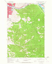
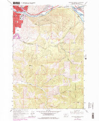
Editions of this 1964 Southeast Missoula Map
3 editions found
Other maps of this area

1903 · Bonner
USGS Topo · 1:125,000

1912 · Missoula
USGS Topo · 1:125,000

1947 · Butte
USGS Topo · 1:250,000

1956 · Hamilton
USGS Topo · 1:250,000

1958 · Butte
USGS Topo · 1:250,000

1959 · Hamilton
USGS Topo · 1:250,000

1959 · Cleveland Mountain
USGS Topo · 1:62,500

1960 · Butte
USGS Topo · 1:250,000

1960 · Hamilton
USGS Topo · 1:250,000

1962 · Butte
USGS Topo · 1:250,000