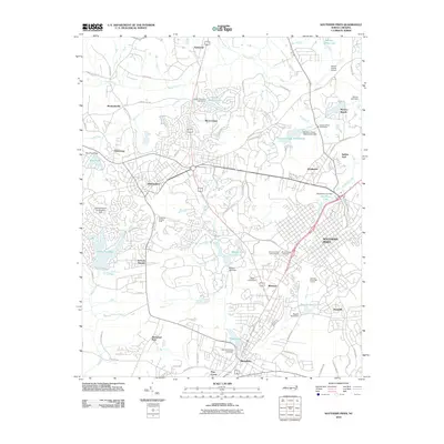
2010 Map of Southern Pines
USGS Topo · Published 2010About this map
Pinehurst and Southern Pines anchor this landscape, revealing the transition from historic village centers to the extensive residential and recreational networks of the modern era. The map details a region defined by its sporting culture and water management, featuring the Pinehurst Trotting Track, the Southern Pines Golf Course, and numerous managed reservoirs such as Pinehurst Lake and Mid Pines Lake. Along the western edge, smaller communities like Taylortown, Jackson Hamlet, and Murdocksville maintain their distinct footprints amidst the growing development.
Find a feature on this map
83 named features on this map. Tap any name to fly to it.
Don’t see what you’re looking for? This feature index may not catch every label — zoom into the map to look around manually.
Map Details
Editions of this 2010 Southern Pines Map
This is the sole edition of this map. No revisions or reprints were ever made.
Other maps of this area
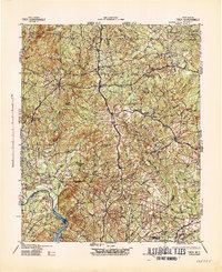
1942 · Troy
USGS Topo · 1:125,000
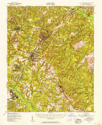
1948 · Southern Pines
USGS Topo · 1:62,500
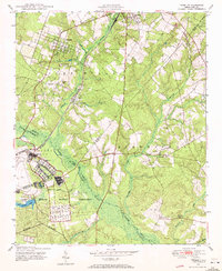
1948 · Pinebluff
USGS Topo · 1:24,000
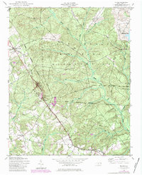
1948 · Mc Cain
USGS Topo · 1:24,000
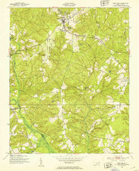
1949 · West End
USGS Topo · 1:24,000
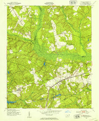
1949 · Hoffman
USGS Topo · 1:24,000
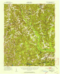
1949 · Jackson Springs
USGS Topo · 1:62,500
1950 · Sanatorium
USGS Topo · 1:24,000
1950 · Pine Bluff
USGS Topo · 1:24,000
1950 · Niagara
USGS Topo · 1:24,000