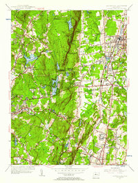
1955 Map of Southington
USGS Topo · Published 1956About this map
Southington Mountain stands as a prominent physical barrier between the growing industrial and residential hubs of Southington and Wolcott in this mid-1950s survey. The landscape reveals a complex network of municipal water management, featuring a series of reservoirs including New Britain Reservoir and three distinct numbered Southington Reservoirs tucked into the upland valleys. The era's transportation and institutional infrastructure are well-defined, from the New York New Haven and Hartford railroad tracks to the sprawling State Reformatory complex near Cheshire.
Find a feature on this map
84 named features on this map. Tap any name to fly to it.
Don’t see what you’re looking for? This feature index may not catch every label — zoom into the map to look around manually.
Map Details
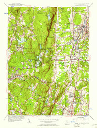
Editions of this 1955 Southington Map
2 editions found
Other maps of this area

1889 · Derby
USGS Topo · 1:62,500

1891 · Derby
USGS Topo · 1:62,500

1892 · New Haven
USGS Topo · 1:62,500

1892 · Meriden
USGS Topo · 1:62,500

1893 · Waterbury
USGS Topo · 1:62,500

1893 · Meriden
USGS Topo · 1:62,500

1893 · Derby
USGS Topo · 1:62,500

1904 · Waterbury
USGS Topo · 1:62,500

1904 · Litchfield
USGS Topo · 1:125,000

1906 · Farmington
USGS Topo · 1:125,000