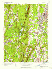
1955 Map of Southington
USGS Topo · Published 1958About this map
Southington Mountain dominates the central landscape of this mid-century survey, dividing the suburban expansion of Southington and Plantsville from the more topographically diverse western terrain. The watershed is heavily managed, featuring a sequence of major catchments including the New Britain Reservoir and three distinct Southington Reservoirs, while Hitchcock Lake provides a localized center for residential development. Historically significant burial sites like the Northeast Burying Ground and Southeast Burying Ground are clearly marked, offering valuable points of reference for genealogists.
Find a feature on this map
76 named features on this map. Tap any name to fly to it.
Don’t see what you’re looking for? This feature index may not catch every label — zoom into the map to look around manually.
Map Details
Editions of this 1955 Southington Map
2 editions found
Other maps of this area

1889 · Derby
USGS Topo · 1:62,500

1891 · Derby
USGS Topo · 1:62,500

1892 · New Haven
USGS Topo · 1:62,500

1892 · Meriden
USGS Topo · 1:62,500

1893 · Waterbury
USGS Topo · 1:62,500

1893 · Meriden
USGS Topo · 1:62,500

1893 · Derby
USGS Topo · 1:62,500

1904 · Waterbury
USGS Topo · 1:62,500

1904 · Litchfield
USGS Topo · 1:125,000

1906 · Farmington
USGS Topo · 1:125,000