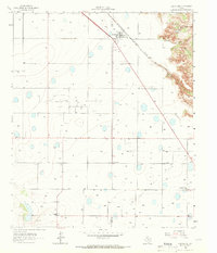
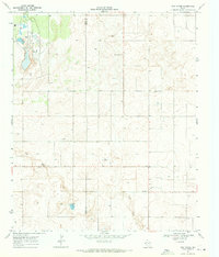
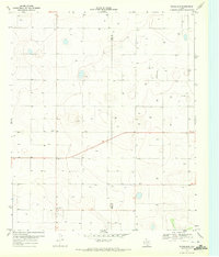
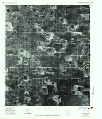
1965 Map of Southland
USGS Topo · Published 1966This historical map portrays the area of Southland in 1965, primarily covering Lynn County as well as portions of Garza County. Featuring a scale of 1:24000, this map provides a highly detailed snapshot of the terrain, roads, buildings, counties, and historical landmarks in the Southland region at the time. Published in 1966, it is the sole known edition of this map.
Find a feature on this map
14 named features on this map. Tap any name to fly to it.
Don’t see what you’re looking for? This feature index may not catch every label — zoom into the map to look around manually.
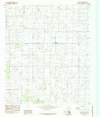
Map Details
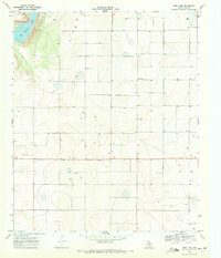
Editions of this 1965 Southland Map
This is the sole edition of this map. No revisions or reprints were ever made.
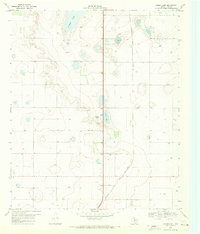
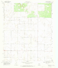
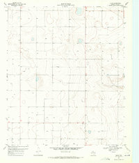
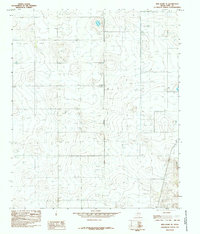
Historical Maps of Southland Through Time
15 maps found
1965 Southland
Lynn County, TX
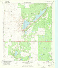
1969 Double Lakes
Lynn County, TX
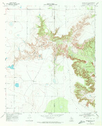
1969 Grassland SE
Lynn County, TX
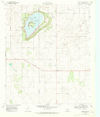
1969 Mound Lake
Lynn County, TX
1969 New Moore
Lynn County, TX
1969 Skeen Lake
Lynn County, TX
1969 Tahoka SW
Lynn County, TX
1970 Draw
Lynn County, TX
1970 Grassland
Lynn County, TX
1970 New Lynn
Lynn County, TX
1976 Meadow SE
Lynn County, TX
1976 New Home SE
Lynn County, TX
1976 New Home SW
Lynn County, TX
1985 Meadow SE
Lynn County, TX
1985 New Home SE
Lynn County, TX