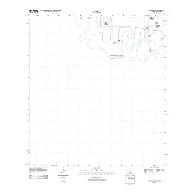
2010 Map of Southmost
USGS Topo · Published 2010About this map
The Rio Grande defines the international boundary in this part of Cameron County, weaving through a landscape of agricultural tracts and residential colonias. The map documents the intricate settlement patterns of the borderlands, including Angel Haven Colonia, Valle Hermosa Colonia, and Alabama-Arkansas Colonia. These communities are situated among larger landholdings such as English Farms and Nogales Ranch, reflecting the region's mix of rural residential development and traditional ranching.
Find a feature on this map
27 named features on this map. Tap any name to fly to it.
Don’t see what you’re looking for? This feature index may not catch every label — zoom into the map to look around manually.
Map Details
Editions of this 2010 Southmost Map
This is the sole edition of this map. No revisions or reprints were ever made.
Other maps of this area

1929 · Palmito Hill
USGS Topo · 1:24,000

1930 · West Brownsville
USGS Topo · 1:24,000

1930 · East Brownsville
USGS Topo · 1:24,000
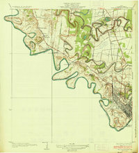
1936 · West Brownsville
USGS Topo · 1:31,680

1936 · Palmito Hill
USGS Topo · 1:31,680
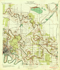
1936 · East Brownsville
USGS Topo · 1:31,680
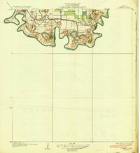
1936 · Southmost
USGS Topo · 1:31,680

1953 · Brownsville
USGS Topo · 1:250,000
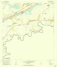
1955 · Palmito Hill
USGS Topo · 1:24,000
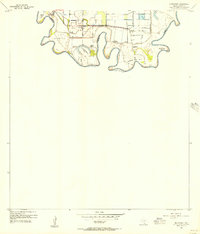
1955 · Southmost
USGS Topo · 1:24,000