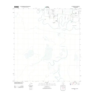
2012 Map of Southmost
USGS Topo · Published 2012About this map
The Rio Grande meanders through this southernmost tip of Texas, defining a landscape marked by its riverine history and agricultural heritage. The serpentine path of the river has created unique landforms known as bancos, including La Canasta Banco Number 4, Los Borregos Banco Number 123, and Longoreno Banco Number 3, which reflect the shifting international boundary and historical land ownership.
Find a feature on this map
30 named features on this map. Tap any name to fly to it.
Don’t see what you’re looking for? This feature index may not catch every label — zoom into the map to look around manually.
Map Details
Editions of this 2012 Southmost Map
This is the sole edition of this map. No revisions or reprints were ever made.
Other maps of this area

1929 · Palmito Hill
USGS Topo · 1:24,000

1930 · West Brownsville
USGS Topo · 1:24,000

1930 · East Brownsville
USGS Topo · 1:24,000
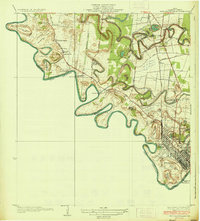
1936 · West Brownsville
USGS Topo · 1:31,680

1936 · Palmito Hill
USGS Topo · 1:31,680
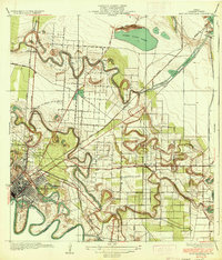
1936 · East Brownsville
USGS Topo · 1:31,680
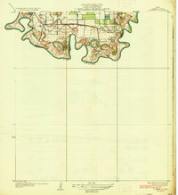
1936 · Southmost
USGS Topo · 1:31,680

1953 · Brownsville
USGS Topo · 1:250,000
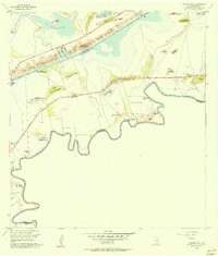
1955 · Palmito Hill
USGS Topo · 1:24,000
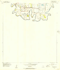
1955 · Southmost
USGS Topo · 1:24,000