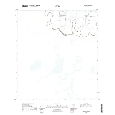
2019 Map of Southmost
USGS Topo · Published 2019About this map
The Rio Grande creates a winding international boundary in this southern Texas landscape, where the southern reaches of Brownsville meet the border with Mexico. This riverfront area is defined by the looping meanders of the river and a network of rural roads that serve local residential pockets. Near the eastern edge of the survey lies South Point Colonia, a residential settlement situated just north of the river's curves. The presence of Southmost Cem and streets named for distant states, such as Arkansas Ave and Alabama Rd, reflect the local development patterns during the late twenty-first century. South of Southmost Rd, the terrain transitions into a more open landscape dominated by the riparian environment of the river valley, including the area surrounding Sabal Palm Grove Rd.
Find a feature on this map
21 named features on this map. Tap any name to fly to it.
Don’t see what you’re looking for? This feature index may not catch every label — zoom into the map to look around manually.
Map Details
Editions of this 2019 Southmost Map
This is the sole edition of this map. No revisions or reprints were ever made.
Other maps of this area

1929 · Palmito Hill
USGS Topo · 1:24,000

1930 · West Brownsville
USGS Topo · 1:24,000

1930 · East Brownsville
USGS Topo · 1:24,000
1936 · West Brownsville
USGS Topo · 1:31,680

1936 · Palmito Hill
USGS Topo · 1:31,680
1936 · East Brownsville
USGS Topo · 1:31,680
1936 · Southmost
USGS Topo · 1:31,680

1953 · Brownsville
USGS Topo · 1:250,000
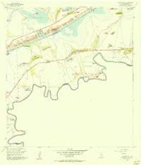
1955 · Palmito Hill
USGS Topo · 1:24,000
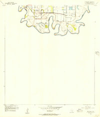
1955 · Southmost
USGS Topo · 1:24,000