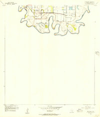
1955 Map of Southmost
USGS Topo · Published 1956About this map
The Rio Grande creates a deeply meandering border between Texas and Mexico in this mid-century topographic survey of southernmost Cameron County. The landscape is defined by the complex hydrological patterns of the river, where numerous bancos such as La Canasta Banco No 4 and Longoreno Banco No 3 illustrate the shifting nature of the international boundary. An extensive system of Levees and drainage ditches protects the agricultural operations that dominated the local economy during this era, including English Farms and the Brulay Plantation. Cultural landmarks like the Southmost Cem and several family-named ranches, such as Nogales Ranch and Southmost Ranch, anchor the rural community. The presence of the Abandoned Southmost Road indicates a shifting infrastructure as older riverfront routes gave way to newer developments like Browne Highway.
Find a feature on this map
22 named features on this map. Tap any name to fly to it.
Don’t see what you’re looking for? This feature index may not catch every label — zoom into the map to look around manually.
Map Details
Editions of this 1955 Southmost Map
2 editions found
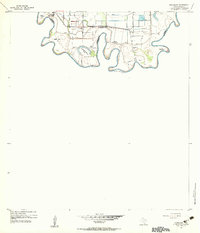
Other maps of this area

1929 · Palmito Hill
USGS Topo · 1:24,000

1930 · East Brownsville
USGS Topo · 1:24,000

1936 · Palmito Hill
USGS Topo · 1:31,680
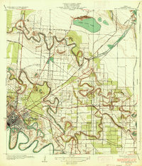
1936 · East Brownsville
USGS Topo · 1:31,680
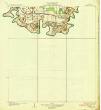
1936 · Southmost
USGS Topo · 1:31,680

1953 · Brownsville
USGS Topo · 1:250,000
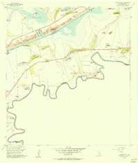
1955 · Palmito Hill
USGS Topo · 1:24,000
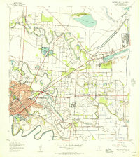
1955 · East Brownsville
USGS Topo · 1:24,000
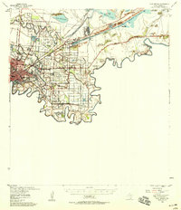
1955 · Fort Brown
USGS Topo · 1:62,500

1956 · Brownsville
USGS Topo · 1:250,000