
1944 Map of Southport
USGS Topo · Published 1944About this map
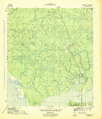
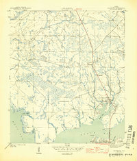
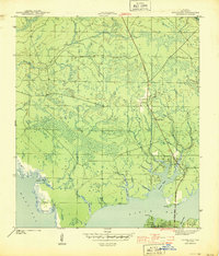
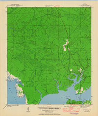
North Bay and West Bay dominate this coastal Florida landscape as it appeared in the early 1940s. The settlement of Southport sits at a critical junction where the North Bay Bridge connects the peninsula to the mainland, while Vicksburg is marked further inland near the Vicksburg Fire Tower. The terrain is defined by a complex network of inlets and tidal fingers, including Fanning Bayou, Newman Bayou, and Alligator Bayou, which reach deep into the low-lying pine lands.
Find a feature on this map
20 named features on this map. Tap any name to fly to it.
Don’t see what you’re looking for? This feature index may not catch every label — zoom into the map to look around manually.
Map Details
Editions of this 1944 Southport Map
5 editions found
Other maps of this area

1943 · Panama City
USGS Topo · 1:31,680

1943 · Panama City Beach
USGS Topo · 1:31,680

1943 · West Bay
USGS Topo · 1:24,000

1943 · Southport
USGS Topo · 1:24,000

1944 · West Bay
USGS Topo · 1:31,680

1944 · Crystal Lake
USGS Topo · 1:24,000

1944 · Bayhead
USGS Topo · 1:24,000

1944 · Bennett
USGS Topo · 1:24,000

1945 · Bennett
USGS Topo · 1:31,680

1945 · Red Head
USGS Topo · 1:31,680