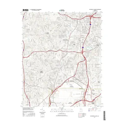
2017 Map of Southwest Atlanta
USGS Topo · Published 2017About this map
The Hartsfield - Jackson Atlanta International Airport anchors the southern portion of this urban landscape, where the borders of Fulton Co and Clayton Co meet. This densely developed region shows the evolution of Georgia's capital, from established neighborhoods like West End and Sylvan Hills to the academic grounds of Spelman Coll and Atlanta Technical Coll. The map reveals a complex grid of residential streets and arterial roads like Cascade Rd and Campbellton Rd SW, interwoven with large institutional footprints and greenspaces.
Find a feature on this map
287 named features on this map. Tap any name to fly to it.
Don’t see what you’re looking for? This feature index may not catch every label — zoom into the map to look around manually.
Map Details
Editions of this 2017 Southwest Atlanta Map
This is the sole edition of this map. No revisions or reprints were ever made.
Other maps of this area

1888 · Atlanta
USGS Topo · 1:125,000

1890 · Atlanta
USGS Topo · 1:125,000

1891 · Marietta
USGS Topo · 1:125,000

1892 · Atlanta
USGS Topo · 1:125,000

1895 · Atlanta
USGS Topo · 1:125,000

1895 · Marietta
USGS Topo · 1:125,000

1897 · Marietta
USGS Topo · 1:125,000

1901 · Marietta
USGS Topo · 1:125,000

1953 · Atlanta
USGS Topo · 1:250,000

1954 · Conley
USGS Topo · 1:24,000