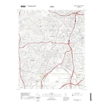
2020 Map of Southwest Atlanta
USGS Topo · Published 2020About this map
Atlanta's southwestern expansion and its sprawling transportation infrastructure are the focal points of this contemporary survey. The landscape is dominated in the south by the massive footprint of Hartsfield-Jackson Atlanta International Airport, which serves as a modern anchor for the neighboring municipalities of College Park, Hapeville, and East Point. The map provides a detailed view of the urban and suburban grid, connecting neighborhoods like Cascade Heights and Sylvan Hills through a complex network of boulevards and expressways.
Find a feature on this map
214 named features on this map. Tap any name to fly to it.
Don’t see what you’re looking for? This feature index may not catch every label — zoom into the map to look around manually.
Map Details
Editions of this 2020 Southwest Atlanta Map
This is the sole edition of this map. No revisions or reprints were ever made.
Other maps of this area

1888 · Atlanta
USGS Topo · 1:125,000

1890 · Atlanta
USGS Topo · 1:125,000

1891 · Marietta
USGS Topo · 1:125,000

1892 · Atlanta
USGS Topo · 1:125,000

1895 · Atlanta
USGS Topo · 1:125,000

1895 · Marietta
USGS Topo · 1:125,000

1897 · Marietta
USGS Topo · 1:125,000

1901 · Marietta
USGS Topo · 1:125,000

1953 · Atlanta
USGS Topo · 1:250,000

1954 · Conley
USGS Topo · 1:24,000