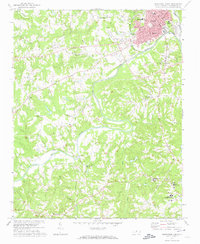
1971 Map of Southwest Eden
USGS Topo · Published 1974About this map
The Dan River meanders through the heart of Rockingham County, carving a deep valley that separates the growing industrial hub of Eden from the rural crossroads to the south. In the early 1970s, this area reflects a landscape in transition, where established neighborhoods like Sunset Hills and Barton Grove sit near civic anchors such as the Douglass High Sch and the Leaksville Jr High Sch. The confluence of the Dan and Smith River near the town center highlights the historical importance of these waterways to local industry, further evidenced by the Filtration Plant and the Southern railroad line.
Find a feature on this map
40 named features on this map. Tap any name to fly to it.
Don’t see what you’re looking for? This feature index may not catch every label — zoom into the map to look around manually.
Map Details
Editions of this 1971 Southwest Eden Map
2 editions found
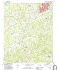
Other maps of this area

1924 · Martinsville
USGS Topo · 1:48,000

1924 · Draper
USGS Topo · 1:48,000

1926 · Martinsville
USGS Topo · 1:62,500

1926 · Draper
USGS Topo · 1:62,500

1927 · Martinsville
USGS Topo · 1:62,500

1944 · Martinsville
USGS Topo · 1:62,500

1944 · Draper
USGS Topo · 1:62,500

1953 · Greensboro
USGS Topo · 1:250,000

1954 · Greensboro
USGS Topo · 1:250,000

1962 · Greensboro
USGS Topo · 1:250,000