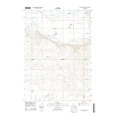
2013 Map of Southwest Emmett
USGS Topo · Published 2013About this map
Emmett Valley serves as the primary agricultural corridor on this topographic sheet, defined by a complex irrigation network essential to the high desert climate. The Payette River and its associated Sevenmile Slough anchor the northern landscape, feeding an intricate system of man-made waterways including the Farmers Cooperative Canal, Black Canyon Canal, and Enterprise Canal. These engineering works allowed for the development of settlements like Emmett, Bramwell, and Jenness.
Find a feature on this map
67 named features on this map. Tap any name to fly to it.
Don’t see what you’re looking for? This feature index may not catch every label — zoom into the map to look around manually.
Map Details
Editions of this 2013 Southwest Emmett Map
This is the sole edition of this map. No revisions or reprints were ever made.
Other maps of this area

1892 · Boise
USGS Topo · 1:125,000

1897 · Boise
USGS Topo · 1:125,000

1898 · Nampa
USGS Topo · 1:125,000

1953 · Star
USGS Topo · 1:24,000

1953 · Montour
USGS Topo · 1:62,500

1955 · Boise
USGS Topo · 1:250,000

1958 · Boise
USGS Topo · 1:250,000
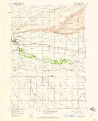
1958 · Middleton
USGS Topo · 1:24,000
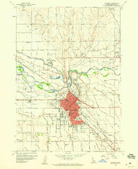
1958 · Caldwell
USGS Topo · 1:24,000

1962 · Boise
USGS Topo · 1:250,000