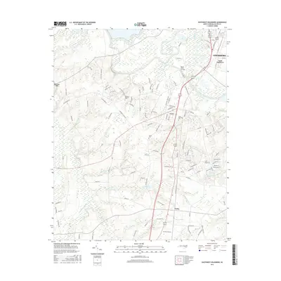
2016 Map of Southwest Goldsboro
USGS Topo · Published 2016About this map
Neuse River loops and meanders dominate the northern landscape of Wayne County, forming a complex hydrologic network just south of Goldsboro. This modern survey documents the southern expansion of the city into South Goldsboro alongside the historical rural landscape. Water plays a central role in the area's layout, from the engineered Neuse River Cut-Off to the extensive wetlands of Thoroughfare Swamp and Brooks Swamp that define the western reaches.
Find a feature on this map
117 named features on this map. Tap any name to fly to it.
Don’t see what you’re looking for? This feature index may not catch every label — zoom into the map to look around manually.
Map Details
Editions of this 2016 Southwest Goldsboro Map
This is the sole edition of this map. No revisions or reprints were ever made.
Other maps of this area

1953 · Rocky Mount
USGS Topo · 1:250,000

1953 · Raleigh
USGS Topo · 1:250,000

1954 · Rocky Mount
USGS Topo · 1:250,000

1954 · Raleigh
USGS Topo · 1:250,000
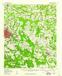
1957 · Goldsboro
USGS Topo · 1:62,500
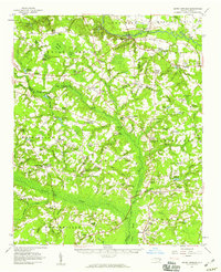
1957 · Seven Springs
USGS Topo · 1:62,500
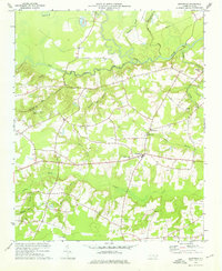
1974 · Grantham
USGS Topo · 1:24,000
1974 · Northwest Goldsboro
USGS Topo · 1:24,000
1974 · Princeton
USGS Topo · 1:24,000
1974 · Southwest Goldsboro
USGS Topo · 1:24,000