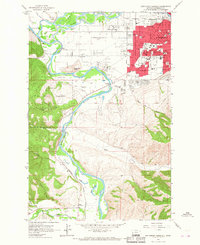
1964 Map of Southwest Missoula
USGS Topo · Published 1967About this map
Fort Missoula stands as a focal point of this mid-1960s survey, marking a period of significant suburban expansion south and west of the city center. The urban grid of Missoula pushes into the Orchard Homes area, while educational infrastructure follows with numerous institutions like Sentinel High Sch and Lewis and Clark Sch. This growth contrasts with the older agricultural and natural features of the valley, such as the winding Bitterroot River and the complex irrigation network of the Grass Valley French Ditch.
Find a feature on this map
63 named features on this map. Tap any name to fly to it.
Don’t see what you’re looking for? This feature index may not catch every label — zoom into the map to look around manually.
Map Details
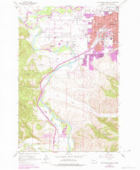
Editions of this 1964 Southwest Missoula Map
2 editions found
Other maps of this area

1903 · Bonner
USGS Topo · 1:125,000

1912 · Missoula
USGS Topo · 1:125,000

1947 · Butte
USGS Topo · 1:250,000

1956 · Hamilton
USGS Topo · 1:250,000

1958 · Butte
USGS Topo · 1:250,000

1959 · Hamilton
USGS Topo · 1:250,000

1959 · Cleveland Mountain
USGS Topo · 1:62,500

1960 · Butte
USGS Topo · 1:250,000

1960 · Hamilton
USGS Topo · 1:250,000

1962 · Butte
USGS Topo · 1:250,000