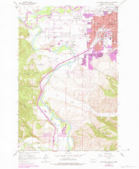
1964 Map of Southwest Missoula
USGS Topo · Published 1984About this map
Fort Missoula stands as a central historical anchor on this survey of the Missoula valley, surrounded by the evolving residential and agricultural character of Orchard Homes. The landscape is defined by the confluence of the Clark Fork and the Bitterroot River, with irrigation infrastructure like the French Ditch supporting the valley floor's development.
Find a feature on this map
62 named features on this map. Tap any name to fly to it.
Don’t see what you’re looking for? This feature index may not catch every label — zoom into the map to look around manually.
Map Details
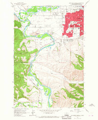
Editions of this 1964 Southwest Missoula Map
2 editions found
Other maps of this area

1903 · Bonner
USGS Topo · 1:125,000

1912 · Missoula
USGS Topo · 1:125,000

1947 · Butte
USGS Topo · 1:250,000

1956 · Hamilton
USGS Topo · 1:250,000

1958 · Butte
USGS Topo · 1:250,000

1959 · Hamilton
USGS Topo · 1:250,000

1959 · Cleveland Mountain
USGS Topo · 1:62,500

1960 · Butte
USGS Topo · 1:250,000

1960 · Hamilton
USGS Topo · 1:250,000

1962 · Butte
USGS Topo · 1:250,000