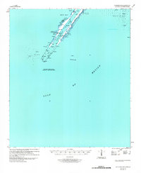
1979 Map of Southwest Pass
USGS Topo · Published 1981About this map
Burrwood serves as the primary outpost on this narrow strip of land extending into the Gulf of Mexico. Situated at the tip of the Mississippi River delta, this area is defined by its strategic maritime and industrial infrastructure. The map illustrates the complex system of stone and concrete works designed to keep the shipping lanes open, including the West Jetty and multiple structures along the East Jetty. To maintain commerce, the Southwest Pass Entrance is carefully monitored to ensure deep-draft vessels can navigate from the open sea into the river system.
Find a feature on this map
17 named features on this map. Tap any name to fly to it.
Don’t see what you’re looking for? This feature index may not catch every label — zoom into the map to look around manually.
Map Details
Editions of this 1979 Southwest Pass Map
This is the sole edition of this map. No revisions or reprints were ever made.
Other maps of this area

1893 · East Delta
USGS Topo · 1:62,500

1893 · West Delta
USGS Topo · 1:62,500

1935 · South Pass
USGS Topo · 1:31,680

1946 · Pass Du Bois
USGS Topo · 1:31,680

1946 · Mudpan Bayou
USGS Topo · 1:31,680

1947 · Southwest Pass
USGS Topo · 1:31,680
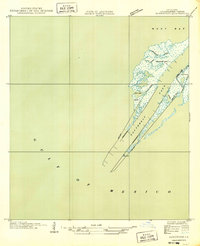
1949 · Burrwood
USGS Topo · 1:31,680

1952 · Southwest Pass
USGS Topo · 1:62,500

1953 · West Delta
USGS Topo · 1:62,500
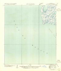
1954 · Pass Du Bois
USGS Topo · 1:31,680