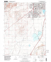
1998 Map of Southwest Pueblo
USGS Topo · Published 1999About this map
The southwestern portion of Pueblo is defined by a landscape transitioning from suburban development into the high plains and canyons. This late 20th-century survey shows the established neighborhoods of Beulah Heights and El Camino as they expanded toward the southwest. Vital community landmarks are densely clustered in the city's grid, including South High Sch, South Park Sch, and the Sangre de Cristo Parish. The map also captures the city's infrastructure and recreational spaces, from the shores of Lake Minnequa to the sprawling Mountain View Cemetery.
Find a feature on this map
42 named features on this map. Tap any name to fly to it.
Don’t see what you’re looking for? This feature index may not catch every label — zoom into the map to look around manually.
Map Details
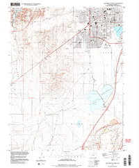
Editions of this 1998 Southwest Pueblo Map
2 editions found
Other maps of this area

1891 · Pueblo
USGS Topo · 1:125,000

1894 · Pueblo
USGS Topo · 1:125,000

1896 · Pueblo
USGS Topo · 1:125,000

1897 · Pueblo
USGS Topo · 1:125,000

1954 · Pueblo
USGS Topo · 1:250,000

1957 · Pueblo
USGS Topo · 1:250,000

1958 · Pueblo
USGS Topo · 1:250,000

1960 · Southeast Pueblo
USGS Topo · 1:24,000

1961 · Northwest Pueblo
USGS Topo · 1:24,000

1961 · Southwest Pueblo
USGS Topo · 1:24,000