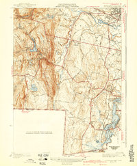
1942 Map of Southwick
USGS Topo · Published 1942About this map
Congamond Lakes define the southeastern corner of this landscape, where the Massachusetts-Connecticut boundary makes its distinctive southern jog. The New York New Haven and Hartford RR corridor runs parallel to these waters, connecting the village of Congamond to the Southwick Depot. In the western half of the map, the terrain rises sharply toward Sodom Mountain and Drake Mountain, where the Westfield Reservoir and Granville Reservoir manage the local watershed. Notable infrastructure from the era is clearly marked, such as the West Parish Filters near Mundale and the winding course of the Westfield River through The Gorge. This survey records a period when small agricultural settlements like Gillett Corner and Granville were connected by a burgeoning network of rural roads such as College Highway and Feeding Hills Rd.
Find a feature on this map
99 named features on this map. Tap any name to fly to it.
Don’t see what you’re looking for? This feature index may not catch every label — zoom into the map to look around manually.
Map Details
Editions of this 1942 Southwick Map
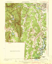
2 editions found
Other maps of this area

1886 · Springfield
USGS Topo · 1:62,500

1887 · Granville
USGS Topo · 1:62,500

1889 · Springfield
USGS Topo · 1:62,500

1889 · Granville
USGS Topo · 1:62,500

1892 · Hartford
USGS Topo · 1:62,500

1892 · Granby
USGS Topo · 1:62,500

1893 · Springfield
USGS Topo · 1:62,500

1893 · Granville
USGS Topo · 1:62,500

1895 · Springfield
USGS Topo · 1:62,500

1895 · Granville
USGS Topo · 1:62,500