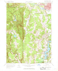
1958 Map of Southwick
USGS Topo · Published 1969About this map
Drake Mountain and its surrounding ridgelines dominate this late-1950s landscape, forming a natural barrier between the agricultural valley and the western highlands. To the east, the Congamond Lakes chain—including North Pond, Middle Pond, and South Pond—serves as a focal point for recreation and local industry along the border. The settlement of Southwick sits at a crossroads, with the College Highway running north-south through the fertile corridor.
Find a feature on this map
56 named features on this map. Tap any name to fly to it.
Don’t see what you’re looking for? This feature index may not catch every label — zoom into the map to look around manually.
Map Details
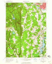
Editions of this 1958 Southwick Map
2 editions found
Other maps of this area

1886 · Springfield
USGS Topo · 1:62,500

1887 · Granville
USGS Topo · 1:62,500

1889 · Springfield
USGS Topo · 1:62,500

1889 · Granville
USGS Topo · 1:62,500

1892 · Hartford
USGS Topo · 1:62,500

1892 · Granby
USGS Topo · 1:62,500

1893 · Springfield
USGS Topo · 1:62,500

1893 · Granville
USGS Topo · 1:62,500

1895 · Springfield
USGS Topo · 1:62,500

1895 · Granville
USGS Topo · 1:62,500