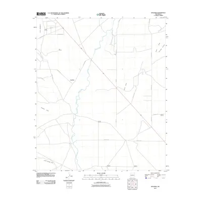
2010 Map of Spalding
USGS Topo · Published 2010About this map
The Mimbres River defines the drainage patterns of this arid New Mexico landscape, winding south through the center of the quadrant. The settlement of Spalding sits west of the river, surrounded by a network of ranch roads and named water-gathering points such as Gerrell Windmill, Windmill Number 6, and East Windmill. This 2010 survey reveals how the modern road grid, including Perrin Rd and County Rd-D017, overlies historical paths like the Butterfield Trl in the northwest. Several significant drainage features, such as Antelope Draw, Porter Draw, and Jones Springs Draw, converge toward the Mimbres, illustrating the hydraulic geography vital to local ranching operations in this corner of Luna County.
Find a feature on this map
24 named features on this map. Tap any name to fly to it.
Don’t see what you’re looking for? This feature index may not catch every label — zoom into the map to look around manually.
Map Details
Editions of this 2010 Spalding Map
This is the sole edition of this map. No revisions or reprints were ever made.
Other maps of this area

1899 · Deming
USGS Topo · 1:125,000

1909 · Silver City
USGS Topo · 1:125,000

1915 · Deming
USGS Topo · 1:125,000

1947 · Faywood Station
USGS Topo · 1:24,000

1949 · Faywood Station
USGS Topo · 1:24,000

1954 · Silver City
USGS Topo · 1:250,000

1955 · Las Cruces
USGS Topo · 1:250,000

1956 · Dwyer
USGS Topo · 1:62,500

1958 · Las Cruces
USGS Topo · 1:250,000

1958 · Silver City
USGS Topo · 1:250,000