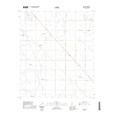
2020 Map of Spalding
USGS Topo · Published 2020About this map
The Spalding settlement and the winding course of the Mimbres River anchor this portion of the New Mexico landscape. The terrain is defined by a complex network of ephemeral drainage systems, including San Vicente Arroyo, Porter Draw, and Lampbright Draw, which illustrate the hydrological character of this high-desert region. A significant historical corridor is preserved here via the Butterfield Trl, reflecting the early western transit routes that crossed the area. Modern connectivity is provided by N Gold Ave, which cuts diagonally across the township lines. Local landmarks such as Jones Spring Draw and Provinger Canyon offer specific points of interest for researchers studying the geographic and environmental history of the Mimbres basin. The map provides a clear view of the survey townships, marking the transition from T21S to T22S across several ranges.
Find a feature on this map
27 named features on this map. Tap any name to fly to it.
Don’t see what you’re looking for? This feature index may not catch every label — zoom into the map to look around manually.
Map Details
Editions of this 2020 Spalding Map
This is the sole edition of this map. No revisions or reprints were ever made.
Other maps of this area

1899 · Deming
USGS Topo · 1:125,000

1909 · Silver City
USGS Topo · 1:125,000

1915 · Deming
USGS Topo · 1:125,000

1947 · Faywood Station
USGS Topo · 1:24,000

1949 · Faywood Station
USGS Topo · 1:24,000

1954 · Silver City
USGS Topo · 1:250,000

1955 · Las Cruces
USGS Topo · 1:250,000

1956 · Dwyer
USGS Topo · 1:62,500

1958 · Las Cruces
USGS Topo · 1:250,000

1958 · Silver City
USGS Topo · 1:250,000