
1954 Map of Spalding SE
USGS Topo · Published 1956About this map
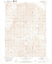
Leo Valley and the surrounding drainage basins of the Cedar R and Timber Creek characterize this mid-century rural landscape along the Greeley and Boone County line. The map reveals a dense network of country school districts that once anchored these prairie townships, including Criss Sch, Leo Valley Sch, Enfield Sch, and Sleepy Hollow Sch. The sheer volume of these small educational outposts, alongside more isolated structures like School No 80, reflects a highly localized rural population dependent on section-line roads and family-run homesteads. For genealogists, the inclusion of Enfield Cemetery provides a specific point of reference for early families in the Logan Cedar area. This topographic survey was completed during a period of agricultural development within the Missouri River Basin program, capturing the precise layout of farms and watercourses before many small district schools were consolidated.
Find a feature on this map
16 named features on this map. Tap any name to fly to it.
Don’t see what you’re looking for? This feature index may not catch every label — zoom into the map to look around manually.
Map Details
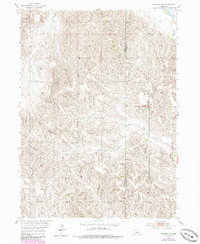
Editions of this 1954 Spalding SE Map
Other maps of this area

1899 · St. Paul
USGS Topo · 1:125,000

1954 · Cedar Rapids
USGS Topo · 1:24,000

1954 · Spalding
USGS Topo · 1:24,000

1954 · Spalding SW
USGS Topo · 1:24,000

1954 · Wolbach
USGS Topo · 1:24,000

1954 · Akron
USGS Topo · 1:24,000

1954 · Wolbach NE
USGS Topo · 1:24,000

1954 · Spalding NW
USGS Topo · 1:24,000

1954 · Belgrade NW
USGS Topo · 1:24,000

1955 · Broken Bow
USGS Topo · 1:250,000