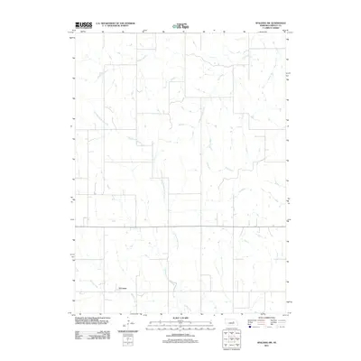
2011 Map of Spalding SW
USGS Topo · Published 2011About this map
O'Connor anchors the southern portion of this landscape in Greeley County, situated near the headwaters of Spring Creek. The terrain is defined by a dense network of intermittent waterways that drain the agricultural uplands, including Troy Creek in the northeast and Freeman Creek in the northwest. Much of the central portion of the sheet is traversed by the winding course of East Branch Spring Creek, which flows south towards the main channel. The map illustrates a highly organized section-line road network typical of the Great Plains, reflecting the established land divisions and rural homestead patterns of the early twenty-first century. This survey provides a precise view of the hydrology and rural infrastructure that sustains this portion of Nebraska's farming country.
Find a feature on this map
5 named features on this map. Tap any name to fly to it.
Don’t see what you’re looking for? This feature index may not catch every label — zoom into the map to look around manually.
Map Details
Editions of this 2011 Spalding SW Map
This is the sole edition of this map. No revisions or reprints were ever made.
Other maps of this area

1899 · Loup
USGS Topo · 1:125,000

1899 · St. Paul
USGS Topo · 1:125,000

1953 · Scotia NE
USGS Topo · 1:24,000

1954 · Greeley NE
USGS Topo · 1:24,000

1954 · Greeley
USGS Topo · 1:24,000

1954 · Spalding
USGS Topo · 1:24,000

1954 · Spalding SW
USGS Topo · 1:24,000

1954 · Wolbach
USGS Topo · 1:24,000

1954 · Wolbach NE
USGS Topo · 1:24,000

1954 · Spalding NW
USGS Topo · 1:24,000