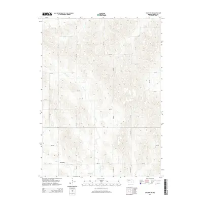
2014 Map of Spalding SW
USGS Topo · Published 2014About this map
The settlement of O'Connor anchors the southwest corner of this Greeley County landscape, situated where the drainage of Spring Cr winds through the Nebraska plains. The terrain is defined by a dense network of seasonal watercourses, including the E Br Spring Cr, Freeman Cr, and Troy Cr, which create a complex system of ridges and valleys. This 2014 survey documents a predominantly agricultural region organized by a strict sectional road grid, featuring thoroughfares like Stringtown Ave and the historical alignment of Old Highway 101. The map illustrates the persistent rural character of the area, where modern state routes like Ne-56 follow long-established section lines, and localized place names reflect the enduring geography of the Central Loess Hills region.
Find a feature on this map
23 named features on this map. Tap any name to fly to it.
Don’t see what you’re looking for? This feature index may not catch every label — zoom into the map to look around manually.
Map Details
Editions of this 2014 Spalding SW Map
This is the sole edition of this map. No revisions or reprints were ever made.
Other maps of this area

1899 · Loup
USGS Topo · 1:125,000

1899 · St. Paul
USGS Topo · 1:125,000

1953 · Scotia NE
USGS Topo · 1:24,000

1954 · Greeley NE
USGS Topo · 1:24,000

1954 · Greeley
USGS Topo · 1:24,000

1954 · Spalding
USGS Topo · 1:24,000

1954 · Spalding SW
USGS Topo · 1:24,000

1954 · Wolbach
USGS Topo · 1:24,000

1954 · Wolbach NE
USGS Topo · 1:24,000

1954 · Spalding NW
USGS Topo · 1:24,000