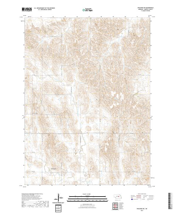
2021 Map of Spalding SW
USGS Topo · Published 2021About this map
O'Connor sits as a central point of interest in this section of Greeley County, Nebraska. The landscape is defined by the drainage patterns of the Loup River watershed, characterized by the branching networks of Spring Cr and its tributaries. To the north, Freeman Cr and Troy Cr carve through the terrain, while the central portion is dominated by E Br Spring Cr and E Spring Cr. The map reveals a strictly regulated rural grid, where modern thoroughfares like Old Hwy 101 follow long-established section lines. This 2021 survey reflects the intersection of contemporary infrastructure and legacy land divisions, with corridors such as Stringtown Ave and 501st Ave providing access to the sprawling agricultural tracts that define the region's economy.
Find a feature on this map
24 named features on this map. Tap any name to fly to it.
Don’t see what you’re looking for? This feature index may not catch every label — zoom into the map to look around manually.
Map Details
Editions of this 2021 Spalding SW Map
This is the sole edition of this map. No revisions or reprints were ever made.
Other maps of this area

1899 · Loup
USGS Topo · 1:125,000

1899 · St. Paul
USGS Topo · 1:125,000

1953 · Scotia NE
USGS Topo · 1:24,000

1954 · Greeley NE
USGS Topo · 1:24,000

1954 · Greeley
USGS Topo · 1:24,000

1954 · Spalding
USGS Topo · 1:24,000

1954 · Spalding SW
USGS Topo · 1:24,000

1954 · Wolbach
USGS Topo · 1:24,000

1954 · Wolbach NE
USGS Topo · 1:24,000

1954 · Spalding NW
USGS Topo · 1:24,000