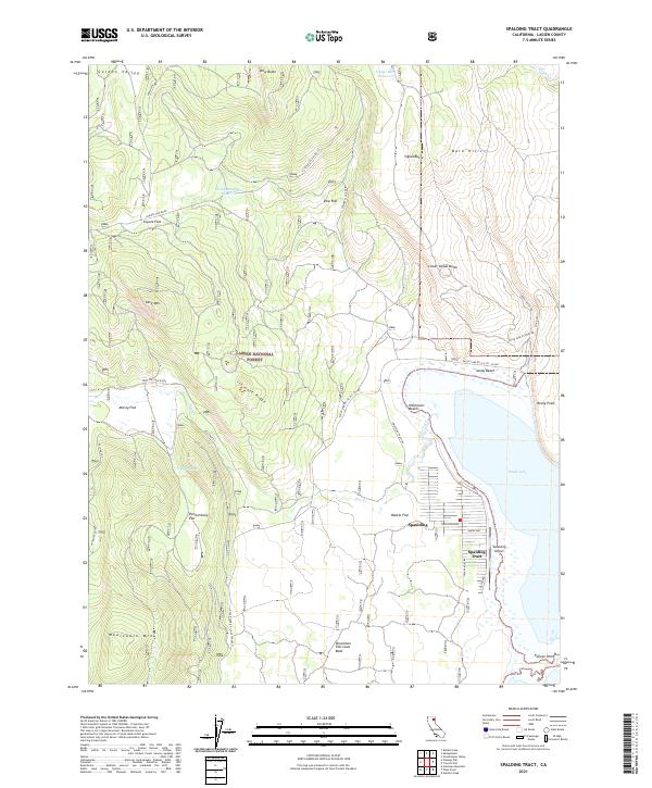
2021 Map of Spalding Tract
USGS Topo · Published 2021About this map
Spalding and the Spalding Tract sit along the western shores of Eagle Lake, serving as a primary point of human activity within the expansive Lassen National Forest. The landscape is a study in volcanic and hydrological features, dominated by the Brockman Flat Lava Beds to the south and Ice Cave Ridge further north. Geologic interest is found in labels like Prison Spring and the West Ice Cave Ridge, while the local transportation network relies on corridors like Eagle Lake Rd and the Signal Butte Rd. Small water resources such as Houseman Camp Reservoir and Signal Butte Reservoir are scattered throughout the high-elevation terrain, which includes landmarks like Whaleback Mtn and Cave Mtn. This map captures the area as it transitioned into the 2020s, showing the residential layout near Spaulding Airport and recreation points like Sandy Beach and Halfmoon Beach.
Find a feature on this map
46 named features on this map. Tap any name to fly to it.
Don’t see what you’re looking for? This feature index may not catch every label — zoom into the map to look around manually.
Map Details
Editions of this 2021 Spalding Tract Map
This is the sole edition of this map. No revisions or reprints were ever made.
Other maps of this area

1886 · Honey Lake
USGS Topo · 1:250,000

1891 · Honey Lake
USGS Topo · 1:250,000

1893 · Honey Lake
USGS Topo · 1:250,000

1954 · Grasshopper Valley
USGS Topo · 1:62,500

1954 · Fredonyer Peak
USGS Topo · 1:62,500

1955 · Westwood
USGS Topo · 1:250,000

1956 · Hayden Hill
USGS Topo · 1:62,500

1956 · Antelope Mtn
USGS Topo · 1:62,500

1958 · Westwood
USGS Topo · 1:250,000

1959 · Westwood
USGS Topo · 1:250,000