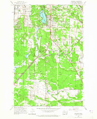
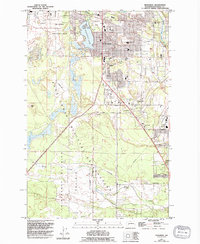
1959 Map of Spanaway
USGS Topo · Published 1965About this map
Mc Chord Air Force Base dominates the northwestern portion of this Pierce County landscape, reflecting the significant military presence in the region during the late 1950s. The airfield and its associated storage areas sit adjacent to the recreational waters of Spanaway Lake, where Daron Island and nearby parks like Holiday Park provide a stark contrast to the structured military installations. The map captures a transition from suburban development in Spanaway and Brookdale to the more open, rural expanses of the Thirteenth Division Prairie.
Find a feature on this map
51 named features on this map. Tap any name to fly to it.
Don’t see what you’re looking for? This feature index may not catch every label — zoom into the map to look around manually.
Map Details
Editions of this 1959 Spanaway Map
5 editions found
Other maps of this area

1897 · Tacoma
USGS Topo · 1:125,000

1900 · Tacoma
USGS Topo · 1:125,000

1916 · Chehalis
USGS Topo · 1:125,000

1937 · Eatonville
USGS Topo · 1:125,000

1940 · Anderson Island
USGS Topo · 1:62,500

1941 · Tanwax Lake
USGS Topo · 1:62,500

1941 · Tacoma South
USGS Topo · 1:62,500

1944 · Tacoma South
USGS Topo · 1:62,500

1944 · Yelm
USGS Topo · 1:62,500

1944 · Ohop Valley
USGS Topo · 1:62,500