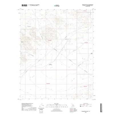
2018 Map of Spangler Hills East
USGS Topo · Published 2018About this map
Spangler stands as a focal point within the arid expanse of the Mojave Desert in this recent survey. The landscape is defined by the ephemeral path of Teagle Wash, which drains the broad basins south of the Spangler Hills. This region is a network of desert routes that highlight the area's mining and transit history, including the path of Stephens Mine Rd and the long stretch of Randsburg Wash Rd.
Find a feature on this map
15 named features on this map. Tap any name to fly to it.
Don’t see what you’re looking for? This feature index may not catch every label — zoom into the map to look around manually.
Map Details
Editions of this 2018 Spangler Hills East Map
This is the sole edition of this map. No revisions or reprints were ever made.
Other maps of this area

1903 · Randsburg
USGS Topo · 1:62,500

1911 · Randsburg
USGS Topo · 1:62,500

1912 · Randsburg
USGS Topo · 1:62,500

1915 · Searles Lake
USGS Topo · 1:250,000

1947 · Trona
USGS Topo · 1:250,000

1948 · Trona
USGS Topo · 1:250,000

1949 · Searles Lake
USGS Topo · 1:62,500

1950 · Searles Lake
USGS Topo · 1:62,500

1953 · Ridgecrest
USGS Topo · 1:62,500

1953 · Trona
USGS Topo · 1:250,000