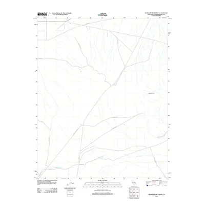
2012 Map of Spangler Hills West
USGS Topo · Published 2012About this map
The Spangler Hills define the arid landscape of this San Bernardino County region, where desert navigation relies on a network of historical mining and transit routes. The presence of Stevens Mine Rd, Stephens Mine Rd, and the Stephens Mine Cutoff points to the area's legacy of mineral extraction, while the Searles Station Cutoff and Trona Rd reflect the importance of connecting remote desert outposts to regional rail and industrial centers. Low-lying drainage patterns are dominated by Teagle Wash, which runs alongside Teagle Wash Rd and Pinnacle Rd in the southern portion of the map. Other arterial tracks such as Bedrock Spring Rd and E Bowman Rd crisscross the terrain, marking the persistent human footprint in this Mojave landscape.
Find a feature on this map
15 named features on this map. Tap any name to fly to it.
Don’t see what you’re looking for? This feature index may not catch every label — zoom into the map to look around manually.
Map Details
Editions of this 2012 Spangler Hills West Map
This is the sole edition of this map. No revisions or reprints were ever made.
Other maps of this area

1903 · Randsburg
USGS Topo · 1:62,500

1911 · Randsburg
USGS Topo · 1:62,500

1912 · Randsburg
USGS Topo · 1:62,500

1915 · Searles Lake
USGS Topo · 1:250,000

1947 · Trona
USGS Topo · 1:250,000

1948 · Trona
USGS Topo · 1:250,000

1949 · Searles Lake
USGS Topo · 1:62,500

1950 · Searles Lake
USGS Topo · 1:62,500

1953 · Ridgecrest
USGS Topo · 1:62,500

1953 · Trona
USGS Topo · 1:250,000