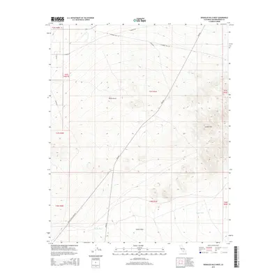
2015 Map of Spangler Hills West
USGS Topo · Published 2015About this map
The Spangler Hills and the southern reaches of the Mojave Desert define this arid landscape in San Bernardino County. The terrain is a network of ridges and drainage systems, most notably the broad path of Teagle Wash as it descends toward Searles Valley in the south. The area’s infrastructure is shaped by the desert's geography, with Trona Rd serving as a primary corridor through the hills, connecting remote valleys and providing access to the rugged interior.
Find a feature on this map
19 named features on this map. Tap any name to fly to it.
Don’t see what you’re looking for? This feature index may not catch every label — zoom into the map to look around manually.
Map Details
Editions of this 2015 Spangler Hills West Map
This is the sole edition of this map. No revisions or reprints were ever made.
Other maps of this area

1903 · Randsburg
USGS Topo · 1:62,500

1911 · Randsburg
USGS Topo · 1:62,500

1912 · Randsburg
USGS Topo · 1:62,500

1915 · Searles Lake
USGS Topo · 1:250,000

1947 · Trona
USGS Topo · 1:250,000

1948 · Trona
USGS Topo · 1:250,000

1949 · Searles Lake
USGS Topo · 1:62,500

1950 · Searles Lake
USGS Topo · 1:62,500

1953 · Ridgecrest
USGS Topo · 1:62,500

1953 · Trona
USGS Topo · 1:250,000