
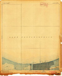
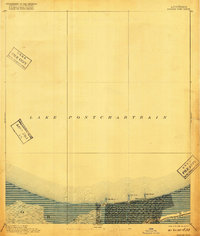
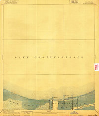
1891 Map of Spanish Fort
USGS Topo · Published 1891About this map
Lake Pontchartrain defines the northern reaches of this coastal landscape, where the lakefront developments of late 19th-century New Orleans meet the water. The survey reveals a grid-pattern expansion pressing toward the shoreline, punctuated by strategic maritime and recreational outposts like Spanish Fort and Milneburg. These settlements, along with West End, functioned as vital gateways for the city's connection to the lake, supported by early infrastructure including multiple Light House structures that guided vessels safely to port.
Find a feature on this map
9 named features on this map. Tap any name to fly to it.
Don’t see what you’re looking for? This feature index may not catch every label — zoom into the map to look around manually.
Map Details
Editions of this 1891 Spanish Fort Map
4 editions found
Other maps of this area

1891 · Hahnville
USGS Topo · 1:62,500

1891 · New Orleans
USGS Topo · 1:62,500

1892 · Chef Menteur
USGS Topo · 1:62,500

1892 · Bonnet Carre
USGS Topo · 1:62,500

1892 · St. Bernard
USGS Topo · 1:62,500

1932 · New Orleans NE
USGS Topo · 1:31,680

1932 · New Orleans NW
USGS Topo · 1:31,680

1932 · Hahnville NE
USGS Topo · 1:31,680

1935 · Slidell
USGS Topo · 1:62,500

1935 · Covington
USGS Topo · 1:62,500