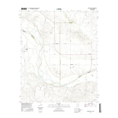
2016 Map of Spanish Fort
USGS Topo · Published 2016About this map
Red River creates the winding southern border of this landscape, separating the Oklahoma counties of Love and Jefferson from Montague, Texas. This riverine environment is defined by its wide floodplains and the intricate network of tributaries that feed into it, including Village Cr, Farmers Cr, and Cottonwood Cr. The settlement pattern reflects a rural agricultural history, anchored by small communities such as Spanish Fort, Petersburg, and Belleville. Family and community ties are visible in the distribution of local landmarks like Liberty Chapel Ch and several burial sites, including Petersburg Cem and Mayfield Cem. The geography also includes modern infrastructure like the 067015 Reservoir, highlighting how water management continues to shape the Red River valley long after the earliest settlements were established.
Find a feature on this map
69 named features on this map. Tap any name to fly to it.
Don’t see what you’re looking for? This feature index may not catch every label — zoom into the map to look around manually.
Map Details
Editions of this 2016 Spanish Fort Map
This is the sole edition of this map. No revisions or reprints were ever made.
Other maps of this area

1901 · Addington
USGS Topo · 1:125,000

1901 · Ardmore
USGS Topo · 1:125,000

1902 · Gainesville
USGS Topo · 1:125,000

1905 · Montague
USGS Topo · 1:125,000

1918 · Ardmore
USGS Topo · 1:125,000

1943 · Gainesville
USGS Topo · 1:125,000

1954 · Sherman
USGS Topo · 1:250,000

1957 · Ardmore
USGS Topo · 1:250,000

1958 · Sherman
USGS Topo · 1:250,000

1963 · Ardmore
USGS Topo · 1:250,000