
1950 Map of Sparks
USGS Topo · Published 1952About this map
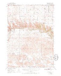
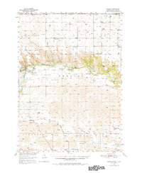
The Niobrara River carves a deep, forested canyon across this mid-century landscape, separating the flat uplands of the north from the rolling terrain to the south. This area is dominated by the Fort Niobrara National Wildlife Refuge and the Fort Niobrara Military Reservation, where landmarks like the Lookout Tower and Refuge Headquarters are situated near the river’s edge. Notable natural features such as Smith Falls, Tyler Falls, and Fort Falls illustrate the dramatic drop from the plateau into the river valley.
Find a feature on this map
39 named features on this map. Tap any name to fly to it.
Don’t see what you’re looking for? This feature index may not catch every label — zoom into the map to look around manually.
Map Details
Editions of this 1950 Sparks Map
3 editions found
Other maps of this area

1950 · Norden
USGS Topo · 1:62,500

1950 · Simeon
USGS Topo · 1:62,500

1950 · Wood Lake
USGS Topo · 1:62,500

1950 · Arabia
USGS Topo · 1:62,500

1950 · Valentine
USGS Topo · 1:62,500

1952 · Norden
USGS Topo · 1:62,500

1955 · Martin
USGS Topo · 1:250,000

1957 · Valentine
USGS Topo · 1:250,000

1958 · Martin
USGS Topo · 1:250,000

1959 · Valentine
USGS Topo · 1:250,000