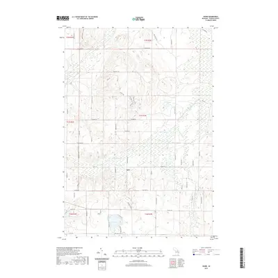
2019 Map of Sparr
USGS Topo · Published 2019About this map
The settlement of Sparr serves as the central hub of this northern Michigan landscape, situated at the junction of Sparr Rd and Marquardt Rd. The terrain is defined by a dense network of waterways, most notably the winding course of the Pigeon River and its tributary, the S Br Pigeon River, which snake through the eastern and central sections. This 2019 survey illustrates the rural character of Otsego County, where residential development is clustered around natural water bodies like Big Lake, Lake Fifteen, and Kassuba Lake. Local history is embedded in the road names that honor early settlers and geographical landmarks, such as Peanut Hill Rd and Winnie Hill Rd. The map also captures the headwaters of the Sturgeon River and Mossback Cr, highlighting the area's importance as a watershed for the region's river systems.
Find a feature on this map
61 named features on this map. Tap any name to fly to it.
Don’t see what you’re looking for? This feature index may not catch every label — zoom into the map to look around manually.
Map Details
Editions of this 2019 Sparr Map
This is the sole edition of this map. No revisions or reprints were ever made.
Other maps of this area

1949 · Lewiston
USGS Topo · 1:62,500

1949 · Otsego Lake
USGS Topo · 1:62,500

1950 · Johannesburg
USGS Topo · 1:24,000

1950 · Turtle Lake
USGS Topo · 1:24,000

1951 · Turtle Lake
USGS Topo · 1:24,000

1951 · Otsego Lake
USGS Topo · 1:24,000

1951 · Johannesburg
USGS Topo · 1:24,000

1954 · Gaylord
USGS Topo · 1:62,500

1954 · Hetherton
USGS Topo · 1:62,500

1954 · Traverse City
USGS Topo · 1:250,000
Featured Places
- Chester Township, MI
- Corwith Township, MI
- Dover Township, MI
- Bagley Township, MI
- Livingston Township, MI