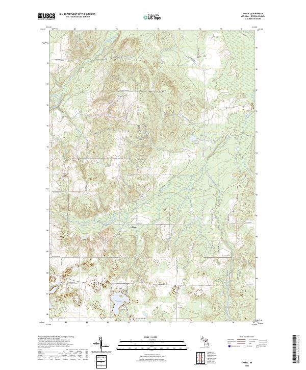
2023 Map of Sparr
USGS Topo · Published 2023About this map
Sparr sits at the junction of Co Rd F-44 and Sparr Rd, serving as the central point for this section of Otsego County. The landscape is defined by its diverse water systems, including the headwaters and branches of the Pigeon River and the South Branch Pigeon River, which flow through low-lying wetlands and marshy tracts. Higher elevations are marked by local landmarks like Winnie Hill Rd and Peanut Hill Rd, offering a contrast to the basin of Big Lake in the south and the northern flow of the Sturgeon River. This contemporary survey shows a rural environment where private property boundaries and public land survey systems remain the primary organizing force, connected by a network of local connectors such as Whitmarsh Rd and Wilkinson Rd. Smaller bodies of water like Lake Fifteen and Kassuba Lake provide focal points for local navigation and land use.
Find a feature on this map
62 named features on this map. Tap any name to fly to it.
Don’t see what you’re looking for? This feature index may not catch every label — zoom into the map to look around manually.
Map Details
Editions of this 2023 Sparr Map
This is the sole edition of this map. No revisions or reprints were ever made.
Other maps of this area

1949 · Lewiston
USGS Topo · 1:62,500

1949 · Otsego Lake
USGS Topo · 1:62,500

1950 · Johannesburg
USGS Topo · 1:24,000

1950 · Turtle Lake
USGS Topo · 1:24,000

1951 · Turtle Lake
USGS Topo · 1:24,000

1951 · Otsego Lake
USGS Topo · 1:24,000

1951 · Johannesburg
USGS Topo · 1:24,000

1954 · Gaylord
USGS Topo · 1:62,500

1954 · Hetherton
USGS Topo · 1:62,500

1954 · Traverse City
USGS Topo · 1:250,000