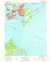
1969 Map of Sparrows Point
USGS Topo · Published 1971About this map
Industrial development and coastal recreation define this 1969 survey of the Patapsco River mouth. The massive steel-making complex at Sparrows Point dominates the western shoreline, supported by the Baltimore and Ohio Railroad and the Peninsula Expressway. To the east, the landscape shifts toward the maritime and residential character of Edgemere and Millers Island, where the Back River meets Hawk Cove. Across the water on Hog Neck, the map details a string of mid-century waterfront communities like Venice on the Bay and Bayside Beach. This era captures the height of the area's industrial importance alongside the established medical and military presence at Fort Howard, including the Fort Howard Veterans Hospital located at the tip of the peninsula overlooking Old Road Bay.
Find a feature on this map
93 named features on this map. Tap any name to fly to it.
Don’t see what you’re looking for? This feature index may not catch every label — zoom into the map to look around manually.
Map Details
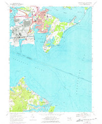
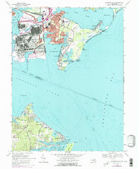
Editions of this 1969 Sparrows Point Map
3 editions found
Other maps of this area

1893 · North Point
USGS Topo · 1:62,500

1893 · Gunpowder
USGS Topo · 1:62,500

1894 · Baltimore
USGS Topo · 1:62,500

1894 · Relay
USGS Topo · 1:62,500

1898 · Tolchester
USGS Topo · 1:125,000

1899 · Baltimore
USGS Topo · 1:62,500

1901 · Gunpowder
USGS Topo · 1:62,500

1903 · Tolchester
USGS Topo · 1:125,000

1904 · Baltimore
USGS Topo · 1:62,500

1904 · North Point
USGS Topo · 1:62,500