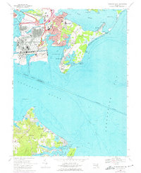
1969 Map of Sparrows Point
USGS Topo · Published 1975About this map
Industrial infrastructure and maritime access dominate this coastal Maryland landscape, where the heavy works of Sparrows Point sit at the confluence of Bear Creek and the Patapsco River. The 1974 photorevisions highlight the expanding transportation network, including the Peninsula Expressway and the Baltimore and Ohio Railroad which served the local manufacturing hubs. Across the water on Back River Neck and Hog Neck, the environment shifts to residential communities like Edgemere and Bayside Beach. Notable local institutions are clearly mapped, from the Sparrows Point High Sch to the expansive Fort Howard Veterans Hospital at the tip of the peninsula. Coastal life is evidenced by numerous recreation spots such as Venice on the Bay and Paradise Beach, while the Brewerton Channel serves as a vital artery for Chesapeake shipping.
Find a feature on this map
76 named features on this map. Tap any name to fly to it.
Don’t see what you’re looking for? This feature index may not catch every label — zoom into the map to look around manually.
Map Details
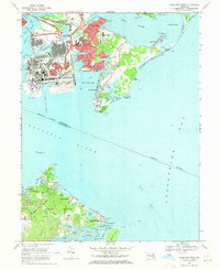
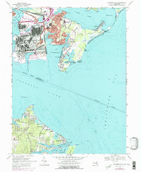
Editions of this 1969 Sparrows Point Map
3 editions found
Other maps of this area

1893 · North Point
USGS Topo · 1:62,500

1893 · Gunpowder
USGS Topo · 1:62,500

1894 · Baltimore
USGS Topo · 1:62,500

1894 · Relay
USGS Topo · 1:62,500

1898 · Tolchester
USGS Topo · 1:125,000

1899 · Baltimore
USGS Topo · 1:62,500

1901 · Gunpowder
USGS Topo · 1:62,500

1903 · Tolchester
USGS Topo · 1:125,000

1904 · Baltimore
USGS Topo · 1:62,500

1904 · North Point
USGS Topo · 1:62,500