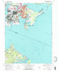
1969 Map of Sparrows Point
USGS Topo · Published 1975About this map
Industrial infrastructure and maritime defense dominate this coastal landscape where the Patapsco River meets the Chesapeake Bay. The massive industrial footprint at Sparrows Point stands in contrast to the residential pockets of Edgemere and Dundalk. To the south, military and public works history is evident at Fort Howard and the Fort Howard Veterans Hospital, while across the water, Fort Smallwood guards the southern approach.
Find a feature on this map
69 named features on this map. Tap any name to fly to it.
Don’t see what you’re looking for? This feature index may not catch every label — zoom into the map to look around manually.
Map Details
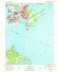
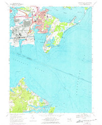
Editions of this 1969 Sparrows Point Map
3 editions found
Other maps of this area

1893 · North Point
USGS Topo · 1:62,500

1893 · Gunpowder
USGS Topo · 1:62,500

1894 · Baltimore
USGS Topo · 1:62,500

1894 · Relay
USGS Topo · 1:62,500

1898 · Tolchester
USGS Topo · 1:125,000

1899 · Baltimore
USGS Topo · 1:62,500

1901 · Gunpowder
USGS Topo · 1:62,500

1903 · Tolchester
USGS Topo · 1:125,000

1904 · Baltimore
USGS Topo · 1:62,500

1904 · North Point
USGS Topo · 1:62,500