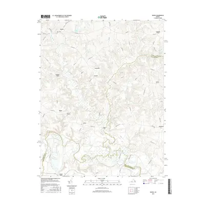
2016 Map of Sparta
USGS Topo · Published 2016About this map
The Mattaponi River meanders through the southern portion of this landscape, defining a region where water and timber define the local economy. In the early 21st century, the area remains characterized by rural crossroads and the expansive King and Queen Swamp, which dominates the eastern boundary with King and Queen County. Small settlements like Lauraville, Sorrell, and Salvia are connected by a network of local roads such as Newtown Rd and Salvia Rd, reflecting a pattern of upland farmsteads overlooking the river valley. Genealogists will find value in the location of the Shiloh United Methodist Church Cem near Bagby and Salem Cem in the north near Sparta. Notable landmarks such as Toombs Bridge and Jiles Millpond indicate historical points of crossing and industry that have shaped the transit routes across the Maracossic Creek and its tributaries.
Find a feature on this map
62 named features on this map. Tap any name to fly to it.
Don’t see what you’re looking for? This feature index may not catch every label — zoom into the map to look around manually.
Map Details
Editions of this 2016 Sparta Map
This is the sole edition of this map. No revisions or reprints were ever made.
Other maps of this area

1889 · Fredericksburg
USGS Topo · 1:125,000

1892 · Fredericksburg
USGS Topo · 1:125,000

1894 · Fredericksburg
USGS Topo · 1:125,000

1918 · Doswell
USGS Topo · 1:62,500

1918 · Aylett
USGS Topo · 1:62,500

1933 · Aylett
USGS Topo · 1:62,500

1942 · Bowling Green
USGS Topo · 1:31,680

1942 · Upper Zion
USGS Topo · 1:31,680

1942 · Occupacia
USGS Topo · 1:31,680

1943 · Richmond
USGS Topo · 1:250,000