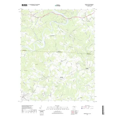
2019 Map of Sparta East
USGS Topo · Published 2019About this map
The Virginia-North Carolina border bisects this landscape, separating Grayson and Alleghany counties. The northern half is dominated by the winding path of the New River and its major tributary, the Little River, which snakes through the countryside near Baywood. To the south, the terrain rises toward significant heights like Doughton Mtn and Bald Knob. Local life is anchored by small communities and rural intersections, including Edwards Crossroads and Blevins Crossroads.
Find a feature on this map
131 named features on this map. Tap any name to fly to it.
Don’t see what you’re looking for? This feature index may not catch every label — zoom into the map to look around manually.
Map Details
Editions of this 2019 Sparta East Map
This is the sole edition of this map. No revisions or reprints were ever made.
Other maps of this area

1889 · Hillsville
USGS Topo · 1:125,000

1889 · Wytheville
USGS Topo · 1:125,000

1889 · Wilkesboro
USGS Topo · 1:125,000

1891 · Wilkesboro
USGS Topo · 1:125,000

1891 · Yadkinville
USGS Topo · 1:125,000

1892 · Hillsville
USGS Topo · 1:125,000

1892 · Wytheville
USGS Topo · 1:125,000

1893 · Yadkinville
USGS Topo · 1:125,000

1896 · Hillsville
USGS Topo · 1:125,000

1930 · Independence
USGS Topo · 1:48,000