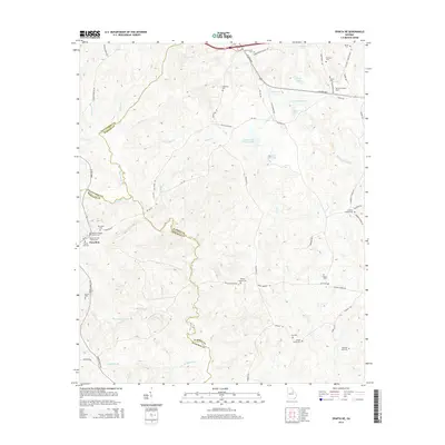
2014 Map of Sparta NE
USGS Topo · Published 2014About this map
Powelton serves as the primary community anchor in this region where Hancock, Warren, and Taliaferro counties converge. The landscape is defined by the winding course of the Ogeechee River and its numerous tributaries, including Red-Lick Cr and Rocky-Comfort Cr. For genealogists, the map is remarkably dense with family-named burial sites and landmarks, recording the deep-rooted presence of families like the Burnleys, Iveys, and Turners. Notable locations such as the Powelton Baptist Church Cem and the Henry-Burnley Family Cem provide specific points of interest for local history research.
Find a feature on this map
74 named features on this map. Tap any name to fly to it.
Don’t see what you’re looking for? This feature index may not catch every label — zoom into the map to look around manually.
Map Details
Editions of this 2014 Sparta NE Map
This is the sole edition of this map. No revisions or reprints were ever made.
Other maps of this area

1906 · Crawfordville
USGS Topo · 1:125,000

1953 · Athens
USGS Topo · 1:250,000

1958 · Athens
USGS Topo · 1:250,000

1959 · Athens
USGS Topo · 1:250,000

1963 · Athens
USGS Topo · 1:250,000

1966 · Crawfordville
USGS Topo · 1:24,000

1971 · Beall Springs
USGS Topo · 1:24,000

1972 · Sharon
USGS Topo · 1:24,000

1972 · Sparta NW
USGS Topo · 1:24,000
1972 · Cadley
USGS Topo · 1:24,000