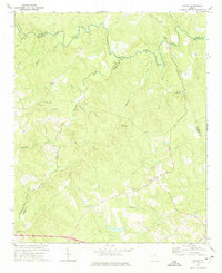
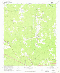
1972 Map of Cadley
USGS Topo · Published 1974About this map
Cadley serves as a central point in this rural landscape where the boundaries of Wilkes, Taliaferro, Warren, and McDuffie counties converge. The terrain is defined by a dense network of waterways feeding into the Little River, including Williams Soapstone Branch and the winding Whitesides Creek. The area’s mid-century character is reflected in its numerous country congregations and burial grounds, such as South Liberty Church, Shiloh Ch, and the Sardis Cem.
Find a feature on this map
36 named features on this map. Tap any name to fly to it.
Don’t see what you’re looking for? This feature index may not catch every label — zoom into the map to look around manually.
Map Details
Editions of this 1972 Cadley Map
This is the sole edition of this map. No revisions or reprints were ever made.
Other maps of this area

1906 · Crawfordville
USGS Topo · 1:125,000

1953 · Athens
USGS Topo · 1:250,000

1958 · Athens
USGS Topo · 1:250,000

1959 · Athens
USGS Topo · 1:250,000

1963 · Athens
USGS Topo · 1:250,000
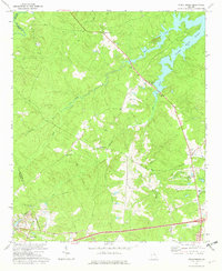
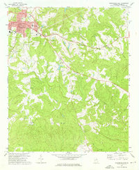
1972 · Wrightsboro
USGS Topo · 1:24,000
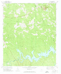
1972 · Aonia
USGS Topo · 1:24,000
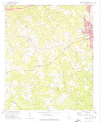
1972 · Thomson West
USGS Topo · 1:24,000
1972 · Sharon
USGS Topo · 1:24,000
1972 · Washington East
USGS Topo · 1:24,000