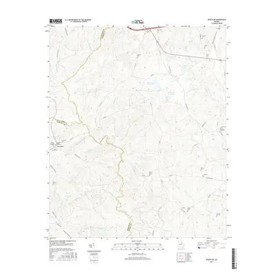
2017 Map of Sparta NE
USGS Topo · Published 2017About this map
Powelton serves as the primary settlement hub in this Georgia landscape, situated where the borders of Taliaferro and Hancock counties converge. The area is defined by a complex network of tributaries feeding the Ogeechee River, including Red-Lick Cr and Rocky Comfort Cr. The high density of family-named burial grounds, such as the Henry Burnley Family Cem and Ephraim Ivey Cem, suggests a long-standing agrarian community with deep genealogical roots. This landscape is also characterized by numerous small water bodies like Shivers Lake Number One and Chafin Lake, often linked by rural routes such as Jones Bridge Rd and Elam Church Rd. Notable landmarks include New Hope Baptist Church and Powelton Church, which have historically anchored the social fabric of these rural crossroads.
Find a feature on this map
69 named features on this map. Tap any name to fly to it.
Don’t see what you’re looking for? This feature index may not catch every label — zoom into the map to look around manually.
Map Details
Editions of this 2017 Sparta NE Map
This is the sole edition of this map. No revisions or reprints were ever made.
Other maps of this area

1906 · Crawfordville
USGS Topo · 1:125,000

1953 · Athens
USGS Topo · 1:250,000

1958 · Athens
USGS Topo · 1:250,000

1959 · Athens
USGS Topo · 1:250,000

1963 · Athens
USGS Topo · 1:250,000

1966 · Crawfordville
USGS Topo · 1:24,000

1971 · Beall Springs
USGS Topo · 1:24,000

1972 · Sharon
USGS Topo · 1:24,000

1972 · Sparta NW
USGS Topo · 1:24,000
1972 · Cadley
USGS Topo · 1:24,000