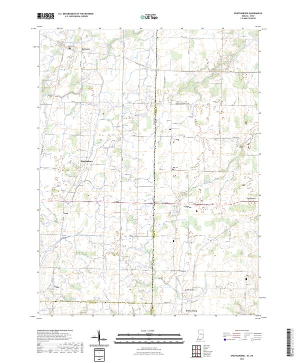
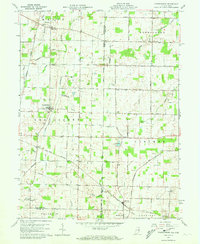
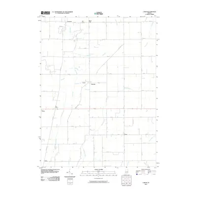
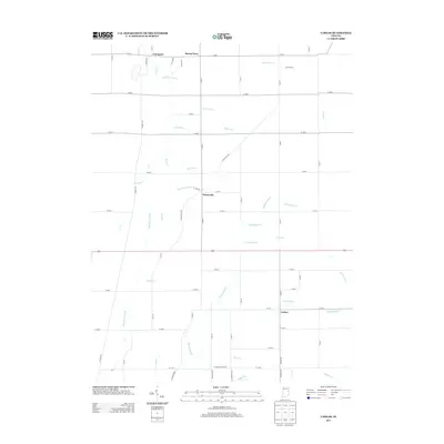
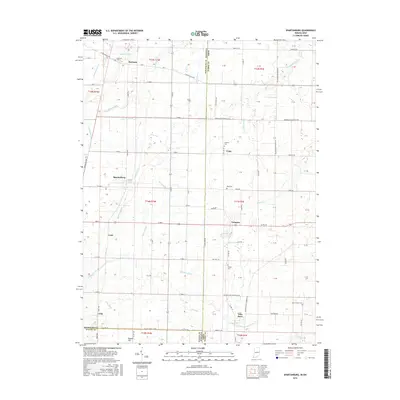
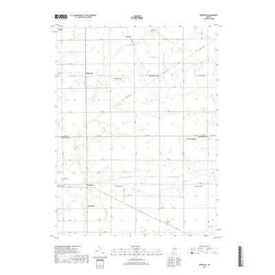
2022 Map of Spartanburg
USGS Topo · Published 2022About this map
Hoosier Hill rises in the northwest corner of this agricultural corridor, marking the highest natural point in Indiana amidst a landscape defined by drainage ditches and rural settlements. This survey tracks the state line as it divides Indiana and Ohio, separating Randolph County from Darke County. Small crossroads communities like Spartanburg and Bartonia anchor a grid of rural routes including E Greenville Pike and S Arba Pike. The terrain is woven with an intricate network of waterways such as Greenville Cr, Mormon Ditch, and Kraut Cr, which serve as the lifelines for the surrounding farmsteads. Local history is preserved in several family and community burial grounds, including Bartonia Cem, Clemens Cem, and Chapel Cem, while the southern reaches of the map show the convergence of Wayne County near the village of Arba.
Find a feature on this map
69 named features on this map. Tap any name to fly to it.
Don’t see what you’re looking for? This feature index may not catch every label — zoom into the map to look around manually.
Map Details
Editions of this 2022 Spartanburg Map
This is the sole edition of this map. No revisions or reprints were ever made.
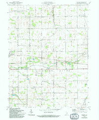
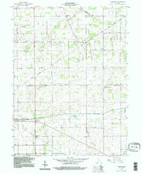
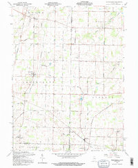
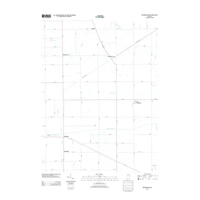
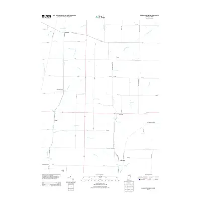
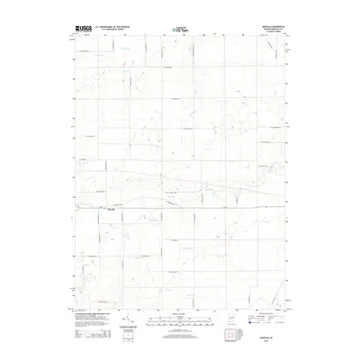
Historical Maps of Hollansburg Through Time
27 maps found
1952 Maxville
Randolph County, IN
1960 Carlos
Randolph County, IN
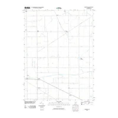
1960 Deerfield
Randolph County, IN
1960 Spartanburg
Randolph County, IN
1969 Maxville
Randolph County, IN
1992 Deerfield
Randolph County, IN
1992 Spartanburg
Randolph County, IN
2010 Carlos
Randolph County, IN
2010 Deerfield
Randolph County, IN
2010 Maxville
Randolph County, IN
2010 Spartanburg
Randolph County, IN
2013 Carlos
Randolph County, IN
2013 Deerfield
Randolph County, IN
2013 Spartanburg
Randolph County, IN
2014 Maxville
Randolph County, IN
2016 Carlos
Randolph County, IN
2016 Deerfield
Randolph County, IN
2016 Maxville
Randolph County, IN
2016 Spartanburg
Randolph County, IN
2019 Carlos
Randolph County, IN
2019 Deerfield
Randolph County, IN
2019 Maxville
Randolph County, IN
2019 Spartanburg
Randolph County, IN
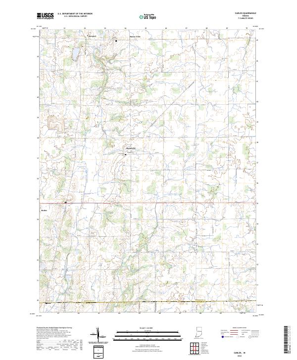
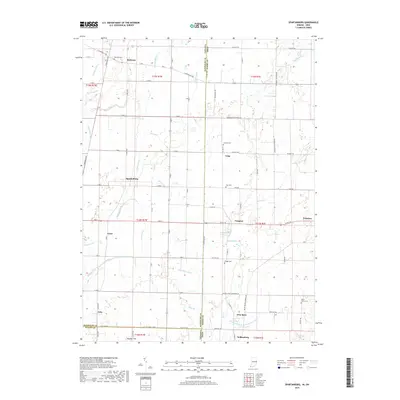
2022 Carlos
Randolph County, IN
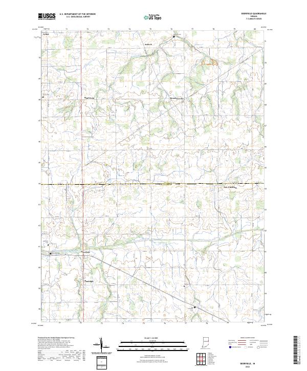
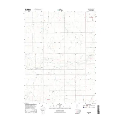
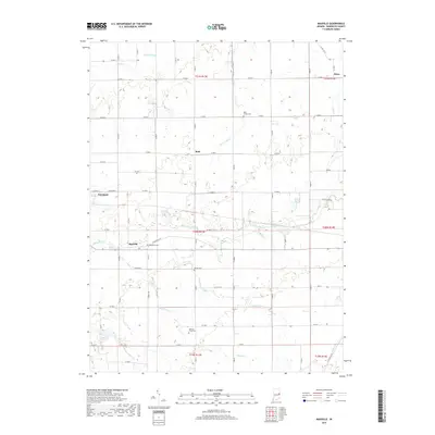
2022 Deerfield
Randolph County, IN
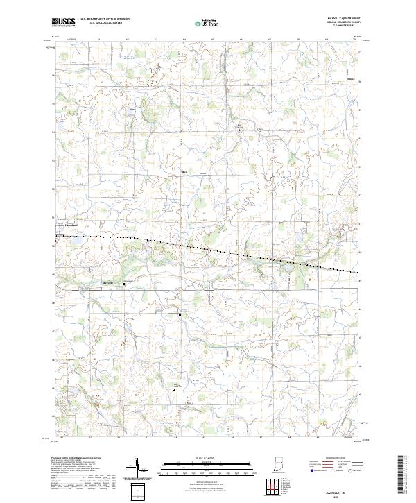
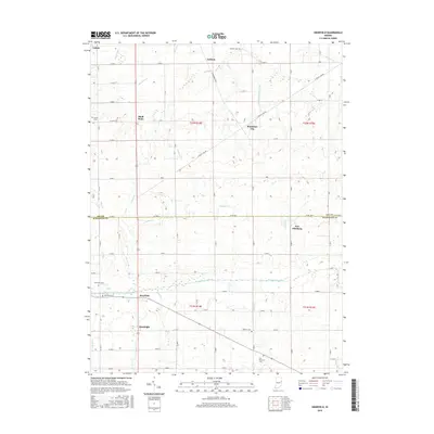
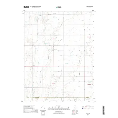
2022 Maxville
Randolph County, IN
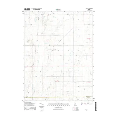
2022 Spartanburg
Randolph County, IN