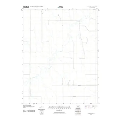
2009 Map of Spearville NE
USGS Topo · Published 2009About this map
Saw Log Creek meanders across this rural section of Ford County, defining a landscape primarily shaped by agricultural section lines and a grid of local corridors. The map reflects the enduring organization of the Kansas prairie, where travel is dictated by long-standing routes such as Pole Line Rd and Chestnut Rd. This area, northeast of Spearville, showcases the intersection of natural drainage systems and the rigid human geometry of the High Plains. The sparse placement of structures and the prominence of numbered routes like 120 Rd and 121 Rd illustrate a region dedicated to large-scale ranching or farming, where the creek provides the primary topographical relief against the uniform survey lines. For researchers, the map documents the precise location of local infrastructure and land divisions as they existed at the start of the 21st century.
Find a feature on this map
8 named features on this map. Tap any name to fly to it.
Don’t see what you’re looking for? This feature index may not catch every label — zoom into the map to look around manually.
Map Details
Editions of this 2009 Spearville NE Map
This is the sole edition of this map. No revisions or reprints were ever made.
Other maps of this area

1892 · Ness
USGS Topo · 1:125,000

1892 · Spearville
USGS Topo · 1:125,000

1894 · Spearville
USGS Topo · 1:125,000

1894 · Ness
USGS Topo · 1:125,000

1955 · Great Bend
USGS Topo · 1:250,000

1955 · Pratt
USGS Topo · 1:250,000

1957 · Great Bend
USGS Topo · 1:250,000

1958 · Great Bend
USGS Topo · 1:250,000

1959 · Pratt
USGS Topo · 1:250,000

1969 · Jetmore
USGS Topo · 1:24,000