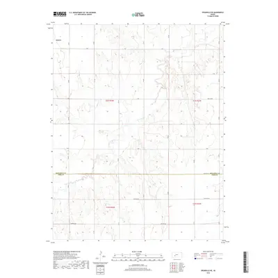
2018 Map of Spearville NE
USGS Topo · Published 2018About this map
Saw Log Cr carves a dendritic path across this High Plains landscape, defining the topography of a region primarily organized by the Public Land Survey System. The map highlights the transition between Hodgeman Co and Ford Co, where a rigid grid of section lines and gravel roads like Chestnut Rd and Pole Line Rd overlays the natural drainage basins. Near the northwestern corner, the outskirts of Jetmore appear, situated just above the complex breaks of the creek valley. This 2018 survey illustrates the enduring agricultural structure of western Kansas, where roads such as Antelope Rd and Backtrail Rd follow the cardinal directions of the townships, providing access to the vast open sections between the seasonal waterways.
Find a feature on this map
30 named features on this map. Tap any name to fly to it.
Don’t see what you’re looking for? This feature index may not catch every label — zoom into the map to look around manually.
Map Details
Editions of this 2018 Spearville NE Map
This is the sole edition of this map. No revisions or reprints were ever made.
Other maps of this area

1892 · Ness
USGS Topo · 1:125,000

1892 · Spearville
USGS Topo · 1:125,000

1894 · Spearville
USGS Topo · 1:125,000

1894 · Ness
USGS Topo · 1:125,000

1955 · Great Bend
USGS Topo · 1:250,000

1955 · Pratt
USGS Topo · 1:250,000

1957 · Great Bend
USGS Topo · 1:250,000

1958 · Great Bend
USGS Topo · 1:250,000

1959 · Pratt
USGS Topo · 1:250,000

1969 · Jetmore
USGS Topo · 1:24,000