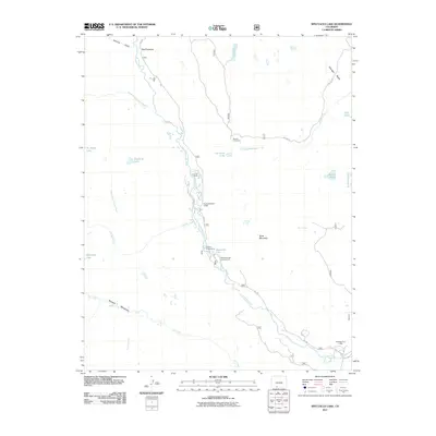
2011 Map of Spectacle Lake
USGS Topo · Published 2011About this map
Bancos Cow Camp and Thomas Ranch occupy the high valley floors where the Conejos River meets its tributaries in this part of southern Colorado. The landscape is defined by an intricate network of alpine water, ranging from the high-elevation Chicago Bogs and The Pinnacles in the north to the meadowed expanse of Second Meadows along Elk Creek. This 2011 survey illustrates a region shaped by seasonal ranching and recreation, with Rocky Mountain Lodge and Rainbow Trout Lodge serving as gateways to the surrounding wilderness.
Find a feature on this map
31 named features on this map. Tap any name to fly to it.
Don’t see what you’re looking for? This feature index may not catch every label — zoom into the map to look around manually.
Map Details
Editions of this 2011 Spectacle Lake Map
This is the sole edition of this map. No revisions or reprints were ever made.
Other maps of this area

1913 · Summitville
USGS Topo · 1:125,000

1915 · Summitville
USGS Topo · 1:125,000

1922 · Conejos
USGS Topo · 1:125,000

1945 · Durango
USGS Topo · 1:250,000

1953 · Durango
USGS Topo · 1:250,000

1954 · Durango
USGS Topo · 1:250,000

1957 · Chama Peak
USGS Topo · 1:62,500

1961 · Durango
USGS Topo · 1:250,000

1963 · Durango
USGS Topo · 1:250,000

1966 · Durango
USGS Topo · 1:250,000